
Walk a Marion Street Address
Start with the address exactly as it appears on a current bill or postal label. Keep the number, directional, street suffix, city label, and ZIP. A Marion street directory search then moves from the physical parcel to names, not the other way around. The assessor identifies the tax parcel and its situs address, meaning the physical location of the land. The recorder links that parcel or legal description to recorded owners. A directory or dated voter record may add evidence of occupancy, but neither should be stretched beyond its date.
- Run the number and street through the Grant County Assessor property search. Save the parcel ID, legal description, situs, owner name, and sale date.
- Open the Grant County Elevate map. Click the subject parcel and nearby parcels to check the block shape and address sequence.
- Compare the Grant County Tax List. Search by tax year and try the number alone when street spellings vary.
- Use the current owner's name and legal description in the recorder index. Follow each seller, or grantor, to the deed where that person previously acquired the land.
- For past occupants, use Marion Public Library's directory shelf and newspapers. Confirm an old address against a plat or Sanborn sheet before assuming its number stayed fixed.
This street directory flow separates ownership from occupancy. It also preserves the parcel and legal description, the strongest links when a road name, mailing label, or house number has changed.
Write down the access date for every live result. Assessor values change each assessment cycle, tax balances change with payments, and a deed may be recorded after a sale appears elsewhere. If the same street name exists outside Marion, confirm Grant County, the city label, and the mapped parcel. County records cover Gas City, Jonesboro, Upland, Fairmount, Van Buren, Matthews, Converse, Sweetser, Swayzee, and unincorporated land as well as Marion. A name match in the right county but the wrong town is not the right address.
Marion Parcel Search Fields
The Grant County Assessor describes current property data through Elevate. The live viewer uses dynamic controls, so exact field labels can change. Its useful concepts are stable: owner, address or situs, parcel or tax ID, and a map click. Search the street, then inspect the property card rather than trusting a short result row.
| Search route | Use it for | Check in the result |
|---|---|---|
| Owner or name | Known current owner | Name spelling and related parcels |
| Address or situs | House number and street | Physical address versus mailing address |
| Parcel or tax ID | Exact land record | Legal description, values, sales, sketch |
| Map parcel click | Street segment | Adjacent lots and parcel boundaries |
The assessor reports sales from 2008 forward and says its data updates weekly. Earlier transfers belong in the deed index and physical books. The screenshot below shows the official map entry used for the street directory's address-to-parcel step.
Open the Grant County Elevate parcel viewer.
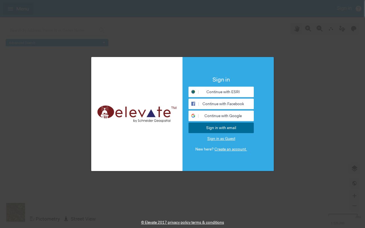
Once the parcel is selected, record its identifiers before moving to tax or deed sources. That keeps the search tied to land even when a displayed address differs.
Map browsing is also the practical street-by-street method. Zoom until parcel lines are clear, select each lot in order, and note corner, rear, and alley parcels that do not face the same road. The source text did not verify a radius, buffer, bulk export, or formal neighbors button. Use ordinary parcel clicks and do not claim that an untested map tool produced a complete block roster. A zoning or district layer describes the land, not the people connected with it.
Marion Records Keyed by Street
No single public roll lists every person at each Marion address. Instead, the Marion street directory combines address-keyed sources that answer distinct questions. The property roll identifies an assessed owner. Tax records show statement and payment context. Deeds establish recorded transfers. City permit and code files can date work or an inspection. Historical directories may name an occupant for a publication year. Each record needs its keeper and date attached.
| Record Set | Keeper | What It Shows | Access |
|---|---|---|---|
| Property card | Grant County Assessor | Owner, situs, values, sales, sketch | Elevate or assessor office |
| Tax List | Grant County Treasurer | Tax year, statement address, balance, warnings | Online, statement request, or office |
| Deeds and mortgages | Grant County Recorder | Parties, instrument, book/page, legal description | Tapestry, counter, or microfilm |
| Voter registration | Grant County elections | Person-based current status and polling route | Indiana Voters or county office |
| Permits and code files | Marion Building, Planning, Code | Applications, inspections, occupancy, complaints | Department or city APRA request |
| Past directories | Marion Public Library | Dated name and address entries | Indiana Room, microfilm, selected database access |
The chain is address to parcel, parcel to owner, owner to deed, then dated occupant sources. The city and county divide matters: Marion holds municipal permit or code files, while Grant County keeps assessor, tax, deed, and election records. A city address can also carry either of Marion's common postal ZIP anchors, so ZIP alone does not prove city limits.
When the portal fails, keep the fallback chain intact. The Assessor can be reached at 765-668-4773. The Treasurer can explain its tax portal at 765-668-6556, though its guidance says staff will not perform parcel searches or payments by phone. The Recorder at 765-668-6559 provides the counter route for instruments, copies, and old books. For voter questions, Grant County elections is at 101 East 4th Street, Room B9, Marion, with phone 765-664-9880 and weekday hours of 8 a.m. to 4 p.m. A request for an existing city permit goes to the city department or its public-information form.
Fix Marion Tax Search Misses
The Treasurer gives a small but valuable street-directory tip: search the address number alone. Ninth may appear as 9th, East as E, and an older statement address may remain after the situs label changes. The tax search also requires a tax year and accepts a name, address, 10-digit tax ID, or 18-digit parcel number. A result's property-number link leads to property information, where tax-sale, bankruptcy, or assessed-value appeal warnings may appear.
Read the Grant County Treasurer search guidance.
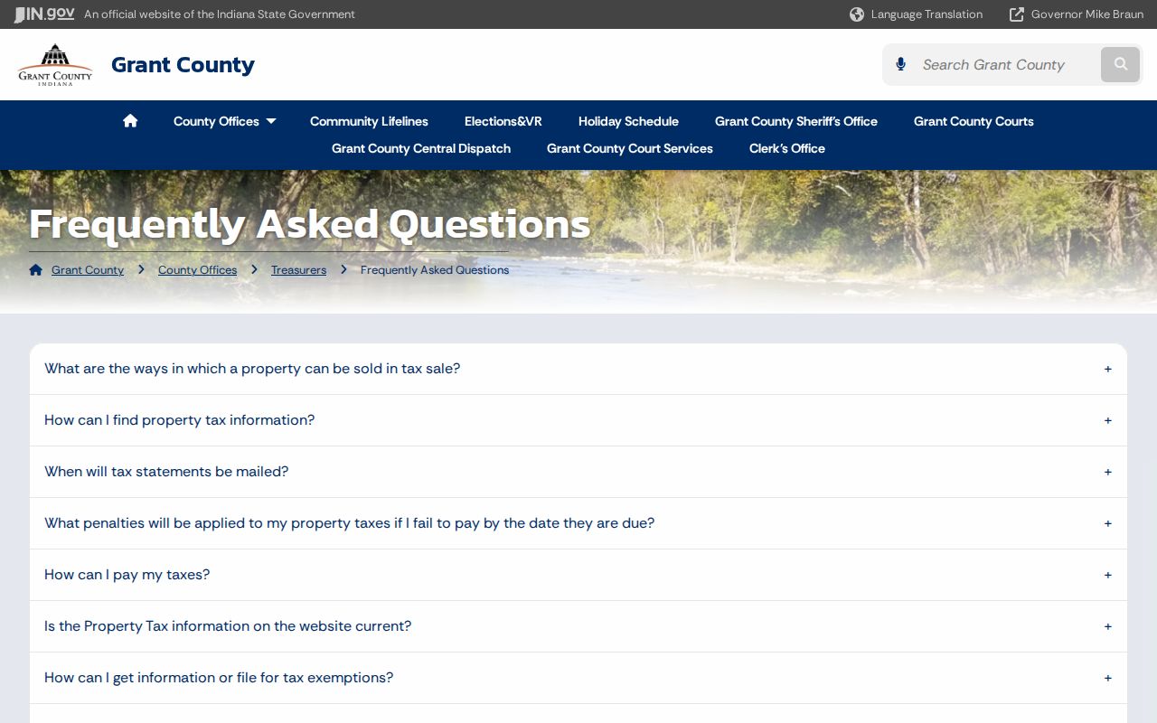
A tax mailing address shows where a statement goes. It does not prove that the owner lives on the parcel. For correction of a homestead or deduction address, the research points to the Grant County Auditor at 765-668-6552.
Note: Keep both situs and mailing addresses in the notes; replacing one with the other can send the rest of the search to the wrong street.
Turn Marion Addresses Into Deeds
The Grant County Recorder does not promise a simple address search. Begin with the assessor's current owner, parcel, and legal description. In a deed, the grantor transfers an interest and the grantee receives it. Find the current owner's purchase, copy its instrument number, recording date, book and page, and legal description, then search the seller as a grantee in an earlier deed.
Search Grant County recorded instruments through Tapestry.

Tapestry is paid, with image viewing included in a search and prints extra. Regular users may ask about Laredo. The online cutoff is not stated. At the recorder counter, staff can route older work to deed books, plats, and indexes. State Library microfilm lists deeds from 1831 to 1926, grantor and grantee indexes from 1832 to 1899, a Center Township deed index from 1831 to 1926, and a tract book from 1825 to 1857.
A deed chain can also branch into mortgages, releases, assignments, liens, probate decrees, affidavits, and powers of attorney. Match the legal description rather than accepting a similar owner name. Lot, block, subdivision, plat, and tract terms can keep a chain intact across a street rename. Copies from the recorder carry a different evidentiary weight from notes copied out of a search result, so ask the office when a certified copy is needed for an estate or title matter.
- Parcel
- A mapped unit of land with an assessor identifier.
- Situs address
- The physical location of the parcel, which may differ from the tax mailing address.
- Plat
- A recorded map that sets out lots, blocks, streets, and easements.
- Legal description
- The land description used in deeds when a street label changes.
Marion Permits by Address
Building permits add dates and physical work to a street record. A Marion file may include the application, plot, inspections, occupancy record, improvement location permit, demolition material, or an address assignment. These are not resident rolls. They can show who applied, the property involved, and when a change passed through city review.
No public permit-result index was located. Contact Marion Building and Planning, or use the Marion public-information request route for an existing file. State the full address, likely date range, record type, and desired medium. The city form lists $0.10 per page and a $10 audio copy or case fee, with a response route that can take up to 14 business days. Code complaint and unsafe-structure files also use department or public-records channels rather than a public address index.
The city's refreshed permit and public-record forms make this a current channel, but they do not establish how long every archived file survives. Call the department when the date is old or the address was reassigned.
Past Marion Streets and Occupants
Marion Public Library describes city directories from 1887 to its current collection. A later volume may have a street-order, reverse, or criss-cross section that groups entries by address, though the exact years with that feature were not published. Search the address section first, then confirm the person's full entry in the alphabetical pages. Record initials, spouse or widow notes, occupation, and any owner or occupant mark.
Older geography needs care. Marion's original plat ran from Boots to Branson and from the river to Seventh. The post office was called Grant Court House before the Marion name took hold in 1836. The 1937 county history and dated Sanborn maps help translate those labels. For the full directory runs and reading method, use the Marion city directory collections. For a single property's longer chain, continue with past residents by address.
Note: A missing directory year or missing name is a lead for another source, not proof that a household left Marion.
Limits of Marion Street Records
A parcel owner is not a list of occupants. A tax mailing address is not proof of residence. Indiana's public voter-status form searches a person by name, date of birth, and county; it does not provide a public browse-by-street roster. The separate VRG-24 computerized file has statutory purchaser categories and use limits, with no ordinary curiosity category. Protected voter information is withheld.
Motor-vehicle addresses, utility customer lists, and delivery records are not public street-directory sources. Historical directories can omit a person, use initials, or lag a move. Permit and code records concern a property event, not every person inside. Cross-check dates and keep conclusions narrow.
Lawful use. Marion address records may support family history, ownership research, and civic questions. Never use an address search to stalk, harass, threaten, or harm anyone.