
Marion ZIP Directory Anchors
Official local addresses establish two working Marion ZIP code anchors. City Hall and the courthouse use 46952, while the county health office and Marion Public Library use 46953. Those examples prove that both postal codes serve Marion addresses. They do not draw the street-by-street line between them, and they do not prove that every address carrying Marion as its postal city lies within the municipal boundary.
| ZIP | Documented Marion anchors | Postal geography | Search note |
|---|---|---|---|
| 46952 | City Hall, 301 S Branson Street; courthouse, 101 E 4th Street | Marion postal place | Use USPS exact-address mode for a property |
| 46953 | Health Department, 401 S Adams Street; library, 600 S Washington Street | Marion postal place | Include the unit when one exists |
No official street boundary list, Marion ZIP split date, station name, per-ZIP population table, PO-box-only code, or unique-institution code was found in the project research. The Marion ZIP code directory therefore keeps its claims narrow: two verified ZIP anchors, followed by an exact USPS lookup for any specific address.
Search Marion ZIP Codes Precisely
The USPS ZIP Code Lookup offers three useful directions: ZIP Code by Address, ZIP Code by City and State, and Cities by ZIP Code. A city-and-state query can identify candidate codes. USPS then directs the reader to address mode when more than one code matches. Results paginate ten at a time.
The live USPS lookup screen shows the city-and-state route used for the Marion ZIP code directory.
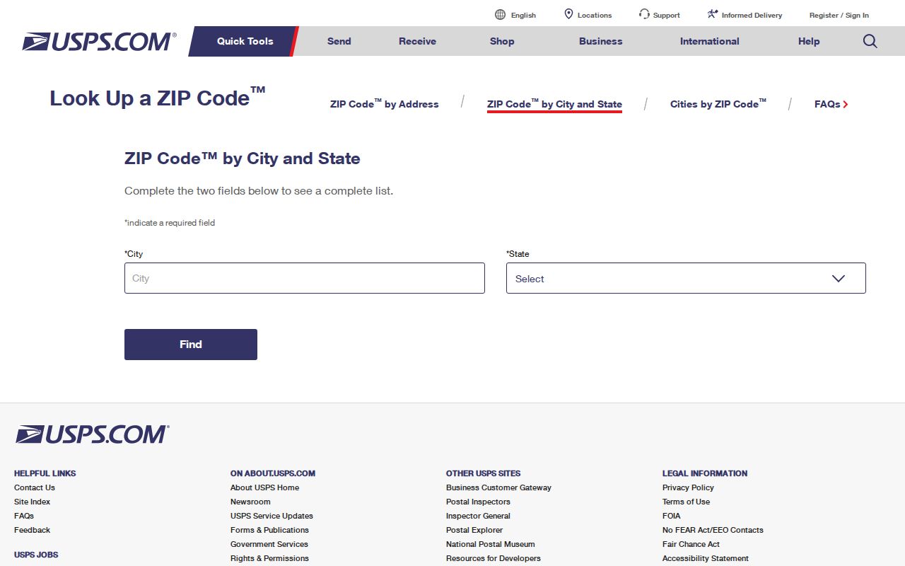
The screenshot confirms the official starting point; an exact street and unit still produce the most useful delivery answer.
| USPS field | When required | Marion search use |
|---|---|---|
| Company | Optional | Add only when it distinguishes a business address |
| Street Address | Address mode | Enter the complete street and number |
| Apt/Suite/Other | When applicable | Separates units at one street address |
| City and State | Address or city mode | Use Marion and Indiana |
| ZIP | Alternative input | Reverse-check the postal city tied to a code |
An invalid city, state, address, or ZIP triggers an error rather than a reliable result. Copy the standardized address returned by USPS, but do not treat it as proof that a named person or company is present. Postal validation concerns delivery.
Narrow a Marion Resident Search
Few public Marion systems support a verified ZIP-wide person search. Use the postal code as a narrowing fact, then move to a source that accepts the information it actually needs. The public voter form requires a person's name, birth date, and current county, not a ZIP. Grant County parcel and tax resources support property or address work, but the research did not confirm a ZIP filter in their public controls.
- Run USPS city-and-state mode to identify the candidate Marion ZIP code, then use exact-address mode when a street is known.
- Mark the ZIP as postal coverage. Do not call it a city, ward, precinct, or neighborhood boundary.
- For a property, search the Grant County parcel viewer by address and compare its situs address with the mailing destination.
- For one known person, use the source's own fields. Indiana Voters requires exact identity data and Grant County.
- Verify each resulting name or address against a second official source and its record date.
INBiz and the Professional Licensing Agency do include ZIP as an advanced business or credential field. Those results identify filing or license connections, not a home. Once a ZIP narrows the location to a street, the Marion street directory provides the address-level record path.
Marion ZIP Filters Vary
A ZIP code directory works best when it states which filters are verified and which are not. Grant County Elevate supports parcel and address research, but no ZIP advanced field was confirmed. The Treasurer documents searches by name, address, parcel, and tax year, not ZIP. Indiana Voters uses county rather than ZIP, and its full voter-file products are organized by county, township, precinct, or walking list under controlled request rules.
| Official source | ZIP field | What the result means |
|---|---|---|
| USPS | Yes | Postal assignment or cities associated with a code |
| Grant Elevate | Not verified | Parcel, owner, situs, values, and sales when found by its supported controls |
| Grant Treasurer | Not documented | Tax name, address, parcel, year, balance, and warnings |
| Indiana Voters | No public ZIP field | Exact person registration match by name, birth date, and county |
| INBiz | Yes, advanced | Business filing address or affiliation |
| PLA | Yes, optional | Professional credential record tied to displayed locality |
Historic Marion city directories predate ZIP codes and must be searched by name, street, old post-office label, or township. Modern ZIP assignments should not be projected backward onto a nineteenth-century directory line.
Marion's Two Postal Anchors
The 46952 cluster includes two clear civic addresses: Marion City Hall and the Grant County courthouse. The 46953 cluster includes the Grant County Health Department and Marion Public Library. They are anchors, not complete boundary descriptions. A nearby home, business, or rural parcel may need the USPS exact-address result even when the reader knows which public office is closest.
That split also explains why “Marion, Indiana” is too broad for a record request. County offices based in Marion serve Grant County places such as Gas City, Jonesboro, Upland, Fairmount, Van Buren, Matthews, Converse, Sweetser, and Swayzee. A county deed or court record may involve one of those towns even though the custodian's mailing address is in Marion.
Note: Record the five-digit ZIP, exact street, county, city jurisdiction, and parcel whenever an address will support more than a postal search.
Read Marion Address Types
Three address fields may look alike while serving different jobs. The situs address is the parcel's physical location in the Assessor or GIS system. The mailing address is where the Treasurer or Auditor sends the tax statement and may be outside Marion. The legal description identifies land through a deed, plat, lot, block, or tract. It can bridge a street-name or number change better than a ZIP.
City Planning can assign an address where no mailing address exists through its improvement-location-permit process. A plot drawing shows lot dimensions, buildings, and clearances, followed by final inspection or occupancy steps. That assigned city address, its USPS delivery format, and the Recorder's legal description should be compared rather than assumed identical.
When an existing city address record is needed, Marion publishes a public information request route.
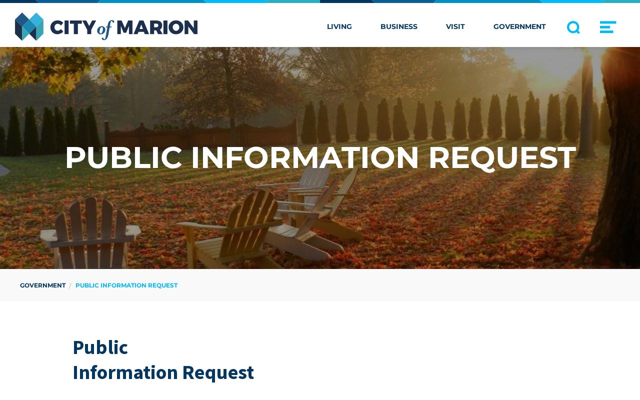
The captured page identifies the city channel for a precise existing record when no searchable ZIP layer is available.
Boundary check. A Marion postal label does not prove city jurisdiction, and a Grant County record does not prove a parcel lies within Marion.
ZIPs and Marion Neighborhoods
Marion names 22 neighborhood associations, including Andrew Manor, Bend of the River, Center City, College Park, Euclid, Garfield, Historic Marion, Maplewood, Martin Boots, Quarry Triangle, Sunnycrest/Westlea, University Village, and West Marion Homeowner's Watch. These civic names help describe local place, but the city does not publish member rosters and an association boundary is not a ZIP boundary.
The distinction matters when someone says a record is “in Center City” or “near West Marion.” Translate the local name into an exact address, then verify the postal code with USPS and the parcel through Grant County. Do not infer a person's association membership from an address. The city's neighborhood association inventory is a community map, not a residents roll.
The city's current neighborhood page shows the civic labels used around Marion.

The image helps separate named community areas from USPS delivery geography and exact ZIP assignments.
Marion's 2020 Census count was 28,310 people and 13,410 units. Those are citywide figures, not counts for 46952 or 46953. No official per-ZIP Marion population table was identified, so the numbers should not be divided or assigned to either postal code.
Before Marion ZIP Codes
Old records use a different geographic language. Marion's first lots were laid in 1831. Its first post office opened in 1832 under the name Grant Court House, then changed to Marion in 1836. The city incorporated in 1889. A nineteenth-century entry under Grant Court House may therefore describe the same growing place, not a separate town.
The original plat ran from Boots to Branson and from the river to Seventh. Industrial and railroad growth later spread the street grid beyond it. To place an early resident, use the historical post-office name, street, legal description, plat, Sanborn sheet, and directory year. A modern Marion ZIP code directory cannot supply a postal code that did not yet exist.
Marion ZIP and City Limits
ZIP codes organize mail delivery. Marion's city limits define municipal authority. Grant County lines define county offices and courts. Parcels, election precincts, wards, census areas, carrier routes, and neighborhood associations add still more boundaries. None should silently replace another in a resident search.
- ZIP and ZIP+4
- A five-digit ZIP defines a delivery area. Four added digits narrow mail to a smaller segment, building, or group of boxes.
- PO-box ZIP
- A code assigned chiefly to post-office boxes. No Marion-only example was verified in the research.
- Unique ZIP
- A code assigned to one high-volume organization. No unique Marion code was verified.
- Carrier route
- The set of delivery points served by a mail carrier. It is not a city ward or parcel boundary.
For a definitive mailing answer, use USPS exact-address mode. For city authority, ask Marion Planning or the relevant city office. For ownership and the physical parcel, use Grant County Elevate. For a deed's land identity, use its legal description through the Recorder. The correct boundary depends on the question.